

In emergency response, every second and every meter matters. Whether navigating dense urban landscapes, responding to multi-agency incidents, or piecing together a timeline for legal and post-incident review, reliable location tracking is critical. Yet, conventional vehicle routing and tracking systems frequently fall short when first responders need accuracy the most.
The Limitations of Traditional GNSS in Emergency Operations
Standard single-band (L1) Global Navigation Satellite Systems (GNSS) typically offer a Circular Error Probability (CEP) of about 3 meters. This means that roughly half of reported positions fall within a 3-meter radius—an inaccuracy that can easily place a responding vehicle on the wrong driveway or lead dispatchers to believe a unit is inside an office building across the street.
Furthermore, standard setups face severe hurdles in complex real-world environments:
In high-stakes emergency situations, these inaccuracies can compromise operational efficiency and produce tracking data that would never hold up in a court of law or formal investigation.
A Real-World Solution: Plug-and-Play Centimeter-Level Accuracy
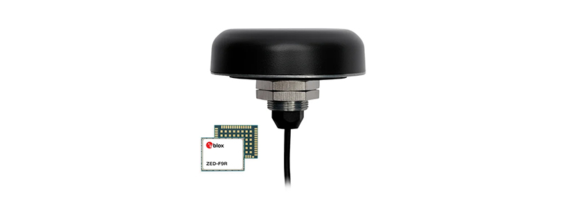
To address these vulnerabilities, Calian has engineered a high-precision, real-world positioning solution tailored for mission-critical hardware, such as the Cradlepoint R1900 router, built around the advanced TW5386 Smart GNSS Antenna.
Partnering with industry leaders like Swift Navigation, Calian’s solution transforms standard vehicle connectivity into a robust, cm-level tracking powerhouse. Key features designed specifically for emergency response units include:
Transforming Data into Definitive Results
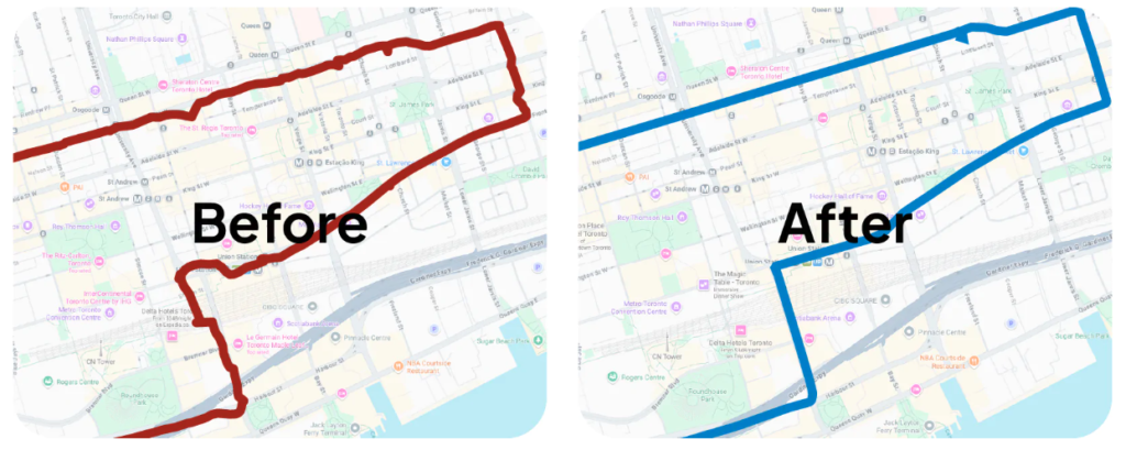
The operational difference is stark. While single-band L1 uncorrected mapping results often paint a jagged, unreliable picture of a vehicle’s path, Calian’s centimeter-level solution provides clean, precise trajectory lines that map exact lane positioning and real-time movements.
For emergency response units, this leap in precision eliminates guesswork, optimizes response times, enhances crew safety, and delivers the uncompromised data integrity required for modern incident command and after-action reporting.
Get in touch for orders or any queries: sales@rfdesign.co.za / +27 21 555 8400
Courtesy of Calian Group Ltd.